Strata
Raw Satellite Imagery to Intelligent Decisions
Strata turns satellite imagery into processed maps, change insights, and geospatial dashboards.
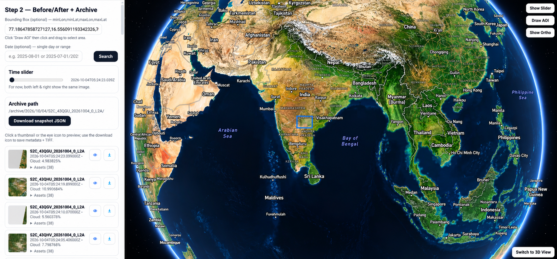
What Can Strata Do?
Explore Platform CapabilitiesEarth Observation Capabilities
01 / 03
Data Processing
Automated EO Data Pipelines
Automated imagery ingestion, radiometric correction, preprocessing, tiling, metadata handling, and GIS-ready EO output generation.
Image Enhancement & Super Resolution
Resolution enhancement, denoising, color balancing, contrast optimization, and detail recovery for analysis-ready satellite imagery.
Orthorectification & Mosaics
Terrain-corrected orthorectification, sensor distortion removal, and seamless mosaicking aligned to GIS control layers.
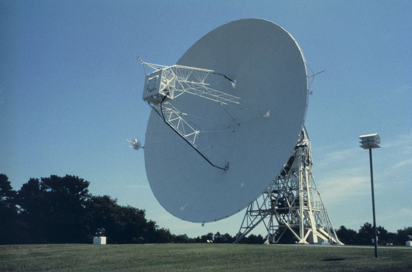
How It Works
How Strata Works
Data Inputs
- Land Records
- Cadastral Maps
- Satellite & Drone Data
- Field Survey
- Stakeholder Information
Polygon Strata
- EO processing engine
Processing & Analytics
- Automated Processing
- Predictive Analytics
- Feature Extraction
- Change Detection
- Spatial Intelligence
Outputs
- GIS Layers
- Dashboards
- Reports
- Decision Support
Why Choose Strata?
Automated Earth Observation Pipelines
Imagery ingestion, preprocessing, mosaics, and outputs.
Computer-Vision Feature Extraction
Road, building, vegetation, water, and asset extraction.
High-Resolution Basemap Generation
Satellite imagery, terrain models, and GIS-ready basemaps.
Continuous Change Monitoring
Multi-temporal change detection and spatial alerts.
Enterprise GIS Integration
Processed imagery, GIS layers, and dashboard publishing.
Scalable Cloud-Native Architecture
Cloud, hybrid, and on-premise EO processing pipelines.
Unlock the Full Value of Earth Observation Data
Transform raw satellite imagery into operational intelligence with automated processing, advanced analytics, and enterprise-ready geospatial products.